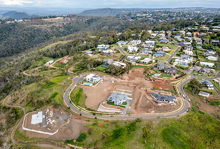
we understand that developers and civil contractors face significant uncertainty about subsurface conditions before committing to design or construction. Traditional borehole or test pit investigations provide essential data but often lack the spatial coverage needed to fully assess risks such as variable rock depths, hidden voids, or groundwater challenges. This is where our Geophysical Testing services deliver a smarter solution.
Using world-leading resistivity and induced polarisation (IP) imaging instruments, RMA Soils provides advanced subsurface imaging that goes beyond conventional methods. Our technology enables comprehensive 2D and 3D imaging for large-scale investigations, mapping soil, rock, and groundwater variations non-invasively. It allows us to identify zones of weakness, buried infrastructure, and potential geohazards with exceptional accuracy, while integrating geophysical data with traditional drilling and laboratory testing to create a complete ground model.
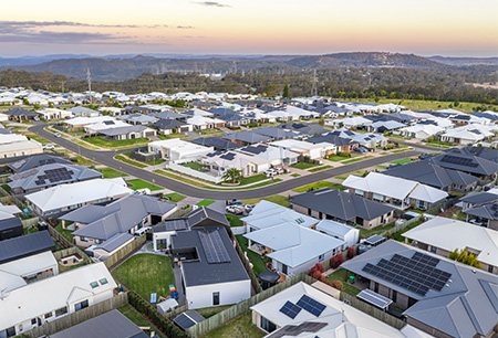
By incorporating geophysics into your geotechnical investigations, RMA Soils helps reduce uncertainty in ground conditions prior to design, optimise borehole placement to save time and cost, and improve safety and stability assessments for major infrastructure, subdivisions, and slope investigations. Our approach also supports faster approvals by providing regulators and design teams with a more comprehensive risk assessment.